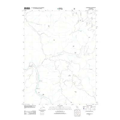
2012 Map of Alderpoint
USGS Topo · Published 2012About this map
The Eel River winds through the southwestern corner of this Humboldt County landscape, providing the primary water source for the settlement of Alderpoint. This region is defined by a network of ranching properties and rugged peaks, where family-named landmarks like Dobbyn Creek Ranch, Stewart Ranch, and Stockton Ranch indicate the historical importance of livestock and land ownership. The terrain rises sharply from the riverbanks toward high points such as Wool Mountain and Neafus Peak, while the sheer Zenia Bluffs overlook the drainage of S Dobbyn Cr. Transport in this era relied on winding rural routes like Alderpoint Rd and Hoaglin Rd. A notable point of navigation is Cain Rock Crossing, located near the distinctive Cain Rock, where local travelers historically bridged the gap across the river.
Find a feature on this map
47 named features on this map. Tap any name to fly to it.
Don’t see what you’re looking for? This feature index may not catch every label — zoom into the map to look around manually.
Map Details
Editions of this 2012 Alderpoint Map
This is the sole edition of this map. No revisions or reprints were ever made.
Other maps of this area

1918 · Anada
USGS Topo · 1:62,500

1920 · Harris
USGS Topo · 1:62,500

1921 · Hoaglin
USGS Topo · 1:62,500

1922 · Island Mountain
USGS Topo · 1:62,500

1931 · Hoaglin
USGS Topo · 1:96,000

1935 · Hoaglin
USGS Topo · 1:125,000

1949 · Blocksburg
USGS Topo · 1:62,500

1949 · Alderpoint
USGS Topo · 1:62,500

1951 · Alderpoint
USGS Topo · 1:62,500

1951 · Blocksburg
USGS Topo · 1:62,500