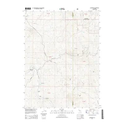
2015 Map of Alderpoint
USGS Topo · Published 2015About this map
The Eel River defines the western corridor of this landscape, where the settlement of Alderpoint sits at the river's edge along Alderpoint Rd. This 2015 study by the U.S. Geological Survey shows a remote region of the North Coast Ranges, where the boundary between Humboldt Co and Trinity Co cuts through steep, forested terrain. To the north, the protected acreage of the Six Rivers National Forest borders the ridges, while various watercourses like Dobbyn Cr and Mill Cr carve deep drainages through the territory.
Find a feature on this map
42 named features on this map. Tap any name to fly to it.
Don’t see what you’re looking for? This feature index may not catch every label — zoom into the map to look around manually.
Map Details
Editions of this 2015 Alderpoint Map
This is the sole edition of this map. No revisions or reprints were ever made.
Other maps of this area

1918 · Anada
USGS Topo · 1:62,500

1920 · Harris
USGS Topo · 1:62,500

1921 · Hoaglin
USGS Topo · 1:62,500

1922 · Island Mountain
USGS Topo · 1:62,500

1931 · Hoaglin
USGS Topo · 1:96,000

1935 · Hoaglin
USGS Topo · 1:125,000

1949 · Blocksburg
USGS Topo · 1:62,500

1949 · Alderpoint
USGS Topo · 1:62,500

1951 · Alderpoint
USGS Topo · 1:62,500

1951 · Blocksburg
USGS Topo · 1:62,500