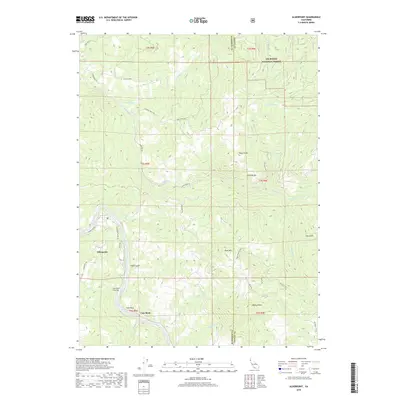
2018 Map of Alderpoint
USGS Topo · Published 2018About this map
Alderpoint and Cain Rock anchor this survey of the river canyons along the boundary between Humboldt and Trinity counties. The Eel River carves a deep path through the terrain, joined by a complex network of tributaries including Dobbyn Cr and Jewett Cr. The map captures a landscape defined by significant elevation changes, from the riverbed up to prominent landmarks like Wool Mtn and Neafus Peak. Long-established transit patterns are evident in the winding courses of Alderpoint Rd and Zenia Bluff Rd, which provide access to remote ranching properties such as Stewart Ranch Rd. Much of the eastern portion of the sheet is protected within the Six Rivers National Forest, where the Big Foot Trl and Trinity Trl navigate the steep ridges above Line Gulch and Graham Lake.
Find a feature on this map
44 named features on this map. Tap any name to fly to it.
Don’t see what you’re looking for? This feature index may not catch every label — zoom into the map to look around manually.
Map Details
Editions of this 2018 Alderpoint Map
This is the sole edition of this map. No revisions or reprints were ever made.
Other maps of this area

1918 · Anada
USGS Topo · 1:62,500

1920 · Harris
USGS Topo · 1:62,500

1921 · Hoaglin
USGS Topo · 1:62,500

1922 · Island Mountain
USGS Topo · 1:62,500

1931 · Hoaglin
USGS Topo · 1:96,000

1935 · Hoaglin
USGS Topo · 1:125,000

1949 · Blocksburg
USGS Topo · 1:62,500

1949 · Alderpoint
USGS Topo · 1:62,500

1951 · Alderpoint
USGS Topo · 1:62,500

1951 · Blocksburg
USGS Topo · 1:62,500