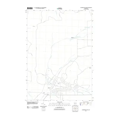
2010 Map of Alderwood Lake
USGS Topo · Published 2010About this map
Camp McCoy anchors the center of this 2010 topographic study, revealing the complex grid of military infrastructure alongside the natural drainage of Monroe County. The La Crosse River and its various tributaries, including Squaw Creek and Tarr Creek, carve through the landscape, feeding into water bodies like Alder Lake 19 and Hazel Dell Lake. The presence of the Greenfield Fire Tower suggests a high vantage point overlooking the surrounding valleys and wooded tracts.
Find a feature on this map
43 named features on this map. Tap any name to fly to it.
Don’t see what you’re looking for? This feature index may not catch every label — zoom into the map to look around manually.
Map Details
Editions of this 2010 Alderwood Lake Map
This is the sole edition of this map. No revisions or reprints were ever made.
Other maps of this area

1909 · Sparta
USGS Topo · 1:62,500

1916 · Tomah
USGS Topo · 1:62,500

1928 · Melrose
USGS Topo · 1:48,000

1947 · Millston
USGS Topo · 1:62,500

1947 · Sparta
USGS Topo · 1:62,500

1949 · Millston
USGS Topo · 1:62,500

1949 · Sparta
USGS Topo · 1:62,500

1949 · Tomah
USGS Topo · 1:62,500

1949 · Melrose
USGS Topo · 1:62,500

1953 · Eau Claire
USGS Topo · 1:250,000