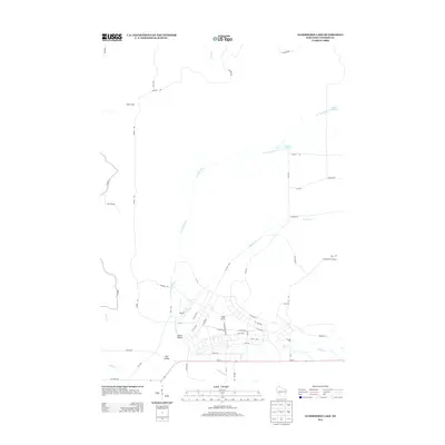
2013 Map of Alderwood Lake
USGS Topo · Published 2013About this map
Camp McCoy dominates the southern portion of this Wisconsin landscape, where a dense network of military roads like S Headquarters Rd, Bivouac Rd, and Bazooka Ln interlace near the structured blocks of E Eaton Rd. This infrastructure sits within a diverse hydrographic setting defined by the La Crosse River, which winds south toward Squaw Lake and the low-lying Lemon Valley. To the north and west, the terrain becomes more rural and sparse, marked by features such as Dorn Cut and the winding course of Ranch Cr. The map captures a moment in the early 21st century when modern military activity and natural water systems coexist, with landmarks like the Greenfield Fire Tower watching over the northern reaches and Tarr Cr cutting through the valleys to the south.
Find a feature on this map
56 named features on this map. Tap any name to fly to it.
Don’t see what you’re looking for? This feature index may not catch every label — zoom into the map to look around manually.
Map Details
Editions of this 2013 Alderwood Lake Map
This is the sole edition of this map. No revisions or reprints were ever made.
Other maps of this area

1909 · Sparta
USGS Topo · 1:62,500

1916 · Tomah
USGS Topo · 1:62,500

1928 · Melrose
USGS Topo · 1:48,000

1947 · Millston
USGS Topo · 1:62,500

1947 · Sparta
USGS Topo · 1:62,500

1949 · Millston
USGS Topo · 1:62,500

1949 · Sparta
USGS Topo · 1:62,500

1949 · Tomah
USGS Topo · 1:62,500

1949 · Melrose
USGS Topo · 1:62,500

1953 · Eau Claire
USGS Topo · 1:250,000