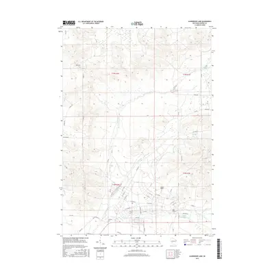
2015 Map of Alderwood Lake
USGS Topo · Published 2015About this map
The La Crosse River valley and its complex network of tributaries anchor this 2015 survey of Monroe County. The drainage patterns of Tarr Cr, Squaw Cr, and Stillwell Cr define the landscape, which is marked by several significant water bodies including Alder Lake, Squaw Lake, and the Upper Sparta Pond. Near the southern edge of the map, the Lafayette Cem sits along the La Crosse River, providing a primary point of interest for genealogists tracking early family settlements in the region.
Find a feature on this map
64 named features on this map. Tap any name to fly to it.
Don’t see what you’re looking for? This feature index may not catch every label — zoom into the map to look around manually.
Map Details
Editions of this 2015 Alderwood Lake Map
This is the sole edition of this map. No revisions or reprints were ever made.
Other maps of this area

1909 · Sparta
USGS Topo · 1:62,500

1916 · Tomah
USGS Topo · 1:62,500

1928 · Melrose
USGS Topo · 1:48,000

1947 · Millston
USGS Topo · 1:62,500

1947 · Sparta
USGS Topo · 1:62,500

1949 · Millston
USGS Topo · 1:62,500

1949 · Sparta
USGS Topo · 1:62,500

1949 · Tomah
USGS Topo · 1:62,500

1949 · Melrose
USGS Topo · 1:62,500

1953 · Eau Claire
USGS Topo · 1:250,000