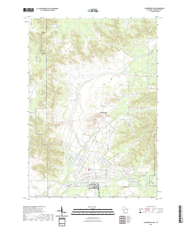
2022 Map of Alderwood Lake
USGS Topo · Published 2022About this map
The La Crosse River carves a central path through this Monroe County landscape, feeding into local reservoirs such as Alder Lake and Suukjak Sep Lake. The terrain is defined by distinct lowland corridors like Lemon Valley and Tarr Valley, which contrast with the higher elevations of Dorn Cut to the northwest. For those researching local heritage, the Lafayette Cem sits near the river's bend, south of the complex network of access roads and trails. The map illustrates a contemporary rural environment where water management and recreation meet, evidenced by several smaller bodies of water like Hazel Dell Lake and the winding course of Suukjak Sep Cr. A dense grid of numbered avenues and named drives, such as Auburn Dr and Badger Ave, facilitates movement across the township lines of T18N and T19N.
Find a feature on this map
69 named features on this map. Tap any name to fly to it.
Don’t see what you’re looking for? This feature index may not catch every label — zoom into the map to look around manually.
Map Details
Editions of this 2022 Alderwood Lake Map
This is the sole edition of this map. No revisions or reprints were ever made.
Other maps of this area

1909 · Sparta
USGS Topo · 1:62,500

1916 · Tomah
USGS Topo · 1:62,500

1928 · Melrose
USGS Topo · 1:48,000

1947 · Millston
USGS Topo · 1:62,500

1947 · Sparta
USGS Topo · 1:62,500

1949 · Millston
USGS Topo · 1:62,500

1949 · Sparta
USGS Topo · 1:62,500

1949 · Tomah
USGS Topo · 1:62,500

1949 · Melrose
USGS Topo · 1:62,500

1953 · Eau Claire
USGS Topo · 1:250,000