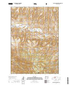
2020 Map of Aldrich Mountain North
USGS Topo · Published 2020About this map
The John Day River flows through the northern reaches of this Grant County terrain, carving a path past the Cheechako Ranch and the historical site of the Aldrich Grave. This high-elevation landscape is defined by the massive uplift of the Aldrich Mountains, where peaks like Aldrich Mtn and Little Aldrich Mtn overlook a complex network of drainages. Evidence of early land management and water engineering is found in the Stewart Ditch, which follows the contours of the river valley.
Find a feature on this map
38 named features on this map. Tap any name to fly to it.
Don’t see what you’re looking for? This feature index may not catch every label — zoom into the map to look around manually.
Map Details
Editions of this 2020 Aldrich Mountain North Map
This is the sole edition of this map. No revisions or reprints were ever made.
Other maps of this area

1932 · Dayville
USGS Topo · 1:125,000

1936 · Dayville
USGS Topo · 1:125,000

1940 · Aldrich Mtn.
USGS Topo · 1:62,500

1943 · Aldrich Mtn.
USGS Topo · 1:62,500

1951 · Courtrock
USGS Topo · 1:62,500

1953 · Picture
USGS Topo · 1:62,500

1955 · Canyon City
USGS Topo · 1:250,000

1959 · Canyon City
USGS Topo · 1:250,000

1972 · Big Weasel Sprs
USGS Topo · 1:24,000
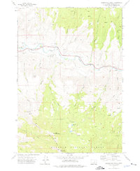
1972 · Aldrich Mountain North
USGS Topo · 1:24,000