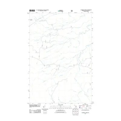
2011 Map of Aldridge Creek
USGS Topo · Published 2011About this map
The northern reaches of Porcupine Mountains State Park dominate this landscape, where the White Pine Camp and Picnic Area serves as a remote outpost along the Little Iron River. The terrain is defined by a dense network of waterways, including the West Branch Iron River and the meandering Big Iron River, which cut through the Ontonagon County timberlands. Significant natural landmarks such as Deer Creek Falls and Rapid River Falls highlight the rugged descent of the local watershed toward the south. Access is maintained through a system of forest infrastructure, notably S Boundary Rd and Forest Hwy 380, which provide the primary transit corridors through these undeveloped reaches of the Upper Peninsula.
Find a feature on this map
24 named features on this map. Tap any name to fly to it.
Don’t see what you’re looking for? This feature index may not catch every label — zoom into the map to look around manually.
Map Details
Editions of this 2011 Aldridge Creek Map
This is the sole edition of this map. No revisions or reprints were ever made.
Other maps of this area

1949 · White Pine
USGS Topo · 1:24,000

1949 · Bergland NE
USGS Topo · 1:24,000

1956 · Carp River
USGS Topo · 1:62,500

1956 · Bergland NE
USGS Topo · 1:24,000

1956 · Bergland
USGS Topo · 1:62,500

1956 · Thomaston
USGS Topo · 1:62,500

1956 · White Pine
USGS Topo · 1:24,000

1956 · White Pine
USGS Topo · 1:62,500

1958 · Iron River
USGS Topo · 1:250,000

1960 · Iron River
USGS Topo · 1:250,000