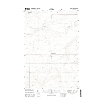
2014 Map of Aldridge Creek
USGS Topo · Published 2014About this map
The Ottawa National Forest dominates this section of Michigan's Upper Peninsula, where dense woodland is dissected by a complex network of waterways. The northern edge touches the Porcupine Mountains, with the S Boundary Rd serving as a key transition point into the highlands. The drainage patterns here are remarkably intricate, centered on the Big Iron River and its numerous tributaries, including the West Branch Iron River, McFarland Cr, and Aldridge Cr. In the southern reaches, the Rapid River flows through the forest, punctuated by the Rapid River Falls, while the Deer Creek Falls are located further north along a different branch.
Find a feature on this map
29 named features on this map. Tap any name to fly to it.
Don’t see what you’re looking for? This feature index may not catch every label — zoom into the map to look around manually.
Map Details
Editions of this 2014 Aldridge Creek Map
This is the sole edition of this map. No revisions or reprints were ever made.
Other maps of this area

1949 · White Pine
USGS Topo · 1:24,000

1949 · Bergland NE
USGS Topo · 1:24,000

1956 · Carp River
USGS Topo · 1:62,500

1956 · Bergland NE
USGS Topo · 1:24,000

1956 · Bergland
USGS Topo · 1:62,500

1956 · Thomaston
USGS Topo · 1:62,500

1956 · White Pine
USGS Topo · 1:24,000

1956 · White Pine
USGS Topo · 1:62,500

1958 · Iron River
USGS Topo · 1:250,000

1960 · Iron River
USGS Topo · 1:250,000