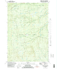
1981 Map of Aldridge Creek
USGS Topo · Published 1981About this map
Porcupine Mountains State Park Wilderness and the Ottawa National Forest converge in this remote section of the Upper Peninsula, where the landscape is defined by a dense network of cold-water drainage. The topography is anchored by the Big Iron River and its numerous tributaries, including the West Branch Big Iron River, McFarland Creek, and the namesake Aldridge Creek. Industrial history is represented by the White Pine Extension Mine located near a Campground at the edge of the Porcupine Mountains. The map reveals a transition from the mountainous wilderness in the north to the wooded forest lands of the Bergland area in the south. Dozens of small streams such as Crazy Creek, Sleepy Creek, and Amundson Creek cut through the terrain, suggesting the complex hydrologic character of the Ontonagon backcountry before modern development further altered these watersheds.
Find a feature on this map
27 named features on this map. Tap any name to fly to it.
Don’t see what you’re looking for? This feature index may not catch every label — zoom into the map to look around manually.
Map Details
Editions of this 1981 Aldridge Creek Map
2 editions found
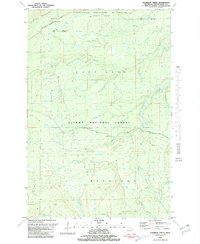
Other maps of this area

1949 · White Pine
USGS Topo · 1:24,000

1949 · Bergland NE
USGS Topo · 1:24,000

1956 · Carp River
USGS Topo · 1:62,500

1956 · Bergland NE
USGS Topo · 1:24,000

1956 · Bergland
USGS Topo · 1:62,500

1956 · Thomaston
USGS Topo · 1:62,500

1956 · White Pine
USGS Topo · 1:24,000

1956 · White Pine
USGS Topo · 1:62,500

1958 · Iron River
USGS Topo · 1:250,000

1960 · Iron River
USGS Topo · 1:250,000