
1949 Map of Alexander
USGS Topo · Published 1960About this map
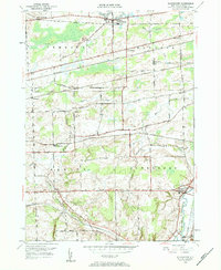
Tonawanda Creek and its tributaries define the rolling landscape of western New York in this mid-century survey, a region where agriculture and heavy rail infrastructure are deeply intertwined. The village of Alexander serves as a southern anchor, while the northern extent is marked by East Pembroke and the New York Central railroad corridor. The mapping reveals a dense network of steam-era transportation, including the Lehigh Valley, the Erie RR, and the Delaware Lackawanna and Western lines, illustrating how these routes influenced the placement of rural outposts like Sawens (North Darien Sta). For local historians, the inclusion of family-scale details such as School No 11 and Hillside Cem provides a clear view of the social fabric of Batavia and Darien townships before late-twentieth-century developments altered the rural landscape.
Find a feature on this map
48 named features on this map. Tap any name to fly to it.
Don’t see what you’re looking for? This feature index may not catch every label — zoom into the map to look around manually.
Map Details
Editions of this 1949 Alexander Map
2 editions found
Other maps of this area

1897 · Albion
USGS Topo · 1:62,500

1897 · Medina
USGS Topo · 1:62,500

1904 · Batavia
USGS Topo · 1:62,500

1905 · Attica
USGS Topo · 1:62,500

1944 · Alexander
USGS Topo · 1:31,680

1949 · Attica
USGS Topo · 1:62,500
1949 · Akron
USGS Topo · 1:24,000

1949 · Cowlesville
USGS Topo · 1:24,000
1949 · Attica
USGS Topo · 1:24,000
1949 · Dale
USGS Topo · 1:24,000