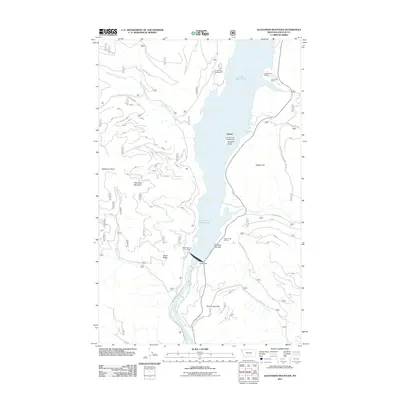
2011 Map of Alexander Mountain
USGS Topo · Published 2011About this map
Libby Dam stands as the central engineering landmark of this mountain landscape, backing up the Kootenai River to form the expansive Lake Koocanusa. This modern era of water management and recreation is reflected in the numerous shoreline facilities that dot the reservoir, including McGillivray Campground, Cripple Horse Marina, and the Hook-U-Up RV Park. The map documents a terrain where steep elevations like Alexander Mountain and Fleetwood Point drop sharply into the valley, creating the narrow waterway at the Kootenai Narrows.
Find a feature on this map
31 named features on this map. Tap any name to fly to it.
Don’t see what you’re looking for? This feature index may not catch every label — zoom into the map to look around manually.
Map Details
Editions of this 2011 Alexander Mountain Map
This is the sole edition of this map. No revisions or reprints were ever made.
Other maps of this area

1920 · Jennings
USGS Topo · 1:125,000

1935 · Thompson Lakes
USGS Topo · 1:96,000

1942 · Thompson Lakes
USGS Topo · 1:125,000

1957 · Kalispell
USGS Topo · 1:250,000

1960 · Kalispell
USGS Topo · 1:250,000

1961 · Kalispell
USGS Topo · 1:250,000

1963 · Vermiculite Mountain
USGS Topo · 1:24,000

1963 · Swede Mountain
USGS Topo · 1:24,000

1963 · Banfield Mountain
USGS Topo · 1:24,000

1963 · Cripple Horse Mountain
USGS Topo · 1:24,000