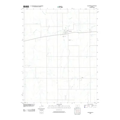
2009 Map of Alexander
USGS Topo · Published 2009About this map
Alexander stands as a primary settlement within this central Kansas landscape, positioned along the banks of Walnut Creek. The town is characterized by a grid of streets including the King and Osborn sections, which provide a window into the organized growth of Rush County. South of the main townsite, the Belle Prairie Cemetery serves as a significant landmark for those researching family history and local lineages.
Find a feature on this map
10 named features on this map. Tap any name to fly to it.
Don’t see what you’re looking for? This feature index may not catch every label — zoom into the map to look around manually.
Map Details
Editions of this 2009 Alexander Map
This is the sole edition of this map. No revisions or reprints were ever made.
Other maps of this area

1889 · Larned
USGS Topo · 1:125,000

1891 · Larned
USGS Topo · 1:125,000

1892 · Ness
USGS Topo · 1:125,000

1893 · Ellis
USGS Topo · 1:125,000

1894 · Ness
USGS Topo · 1:125,000

1896 · Hays
USGS Topo · 1:125,000

1955 · Great Bend
USGS Topo · 1:250,000

1957 · Great Bend
USGS Topo · 1:250,000

1958 · Great Bend
USGS Topo · 1:250,000

1965 · Mc Cracken
USGS Topo · 1:24,000