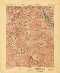
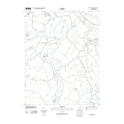
1936 Map of Alexandria
USGS Topo · Published 1950About this map
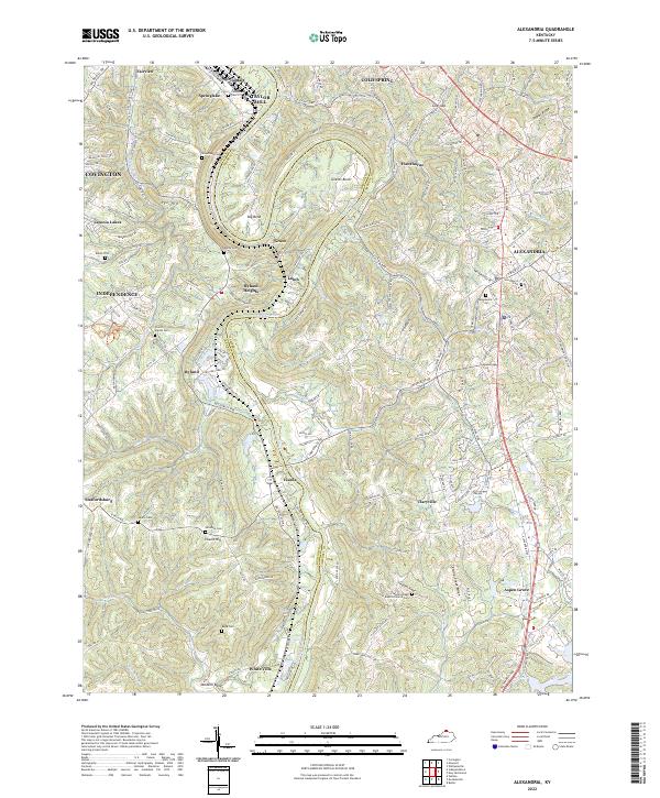
Alexandria serves as the inland anchor for this 1930s survey of Northern Kentucky, where the winding Licking River and Ohio River define the local geography. The landscape is dense with small rural settlements and a remarkably high concentration of country schoolhouses, such as the Sts Peter and Paul Sch, Maple Valley Sch, and Gray Hill Sch. These labels, alongside landmarks like Gubser Mill and Wesley Chapel, suggest a tightly knit agrarian society before mid-century modernization transformed the region. Transport networks are clearly established along the river valleys, with the Louisville and Nashville railroad tracking the Licking River through Butler and DeMossville, while the Chesapeake and Ohio runs parallel to the Ohio River in the northeast. The presence of the U S Mil Res near Visalia adds a distinct federal footprint to this largely rural Campbell County portrait.
Find a feature on this map
115 named features on this map. Tap any name to fly to it.
Don’t see what you’re looking for? This feature index may not catch every label — zoom into the map to look around manually.
Map Details
Editions of this 1936 Alexandria Map
2 editions found

Historical Maps of Covington Through Time
10 maps found

1929 Alexandria
Campbell County, KY
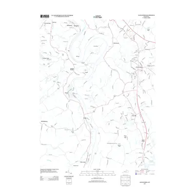
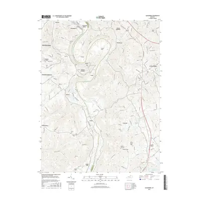
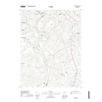
1936 Alexandria
Campbell County, KY
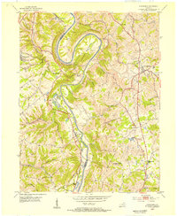
1953 Alexandria
Campbell County, KY
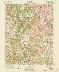
1961 Alexandria
Campbell County, KY
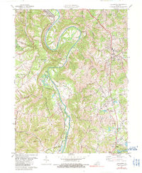
1981 Alexandria
Campbell County, KY
2010 Alexandria
Campbell County, KY
2013 Alexandria
Campbell County, KY
2016 Alexandria
Campbell County, KY
2019 Alexandria
Campbell County, KY
2022 Alexandria
Campbell County, KY