
1983 Map of Alexandria
USGS Topo · Published 1984About this map
Alexandria and Lincoln Valley townships define the wide, prairie landscape of northwestern North Dakota in this early 1980s record. The terrain is a complex pattern of glacial potholes and small lakes, most notably Rattler Lake in the northwest corner. This era shows a sparse, agricultural infrastructure, where scattered Storage Bins and occasional Wells are the primary markers of human activity. Genealogists and local historians will find the East Writing Rock Cem Ch in the southwestern corner, a vital landmark for the community in Writing Rock and Clinton townships. Several Gravel Pits suggest the importance of local material extraction for maintaining the township roads that grid the landscape.
Find a feature on this map
12 named features on this map. Tap any name to fly to it.
Don’t see what you’re looking for? This feature index may not catch every label — zoom into the map to look around manually.
Map Details
Editions of this 1983 Alexandria Map
This is the sole edition of this map. No revisions or reprints were ever made.
Other maps of this area

1948 · Smoky Butte
USGS Topo · 1:24,000

1948 · Stady
USGS Topo · 1:24,000

1953 · Williston
USGS Topo · 1:250,000

1957 · Williston
USGS Topo · 1:250,000

1983 · Colgan West
USGS Topo · 1:24,000

1983 · Writing Rock North
USGS Topo · 1:24,000

1983 · Writing Rock South
USGS Topo · 1:24,000
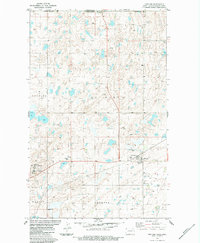
1983 · Fortuna
USGS Topo · 1:24,000
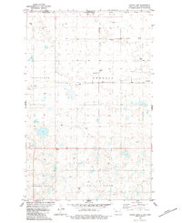
1983 · Colgan East
USGS Topo · 1:24,000
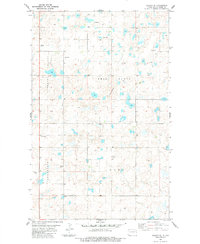
1983 · Colgan SE
USGS Topo · 1:24,000