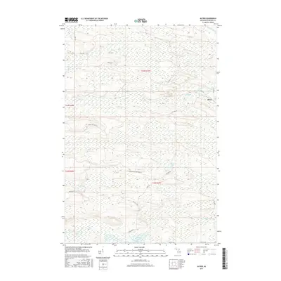
2017 Map of Alfred
USGS Topo · Published 2017About this map
Alfred sits at a crossroads of the Upper Peninsula's interior, where the Ford River and the N Br Ford River meet. This survey captures a landscape defined by its complex hydrology, featuring numerous wetlands and small bodies of water like Beronto Lake and Hintz Lake. The presence of the Hardwood Impoundment and the E Br Sturgeon River in the southern reaches highlights the region's managed water systems and natural drainage patterns.
Find a feature on this map
28 named features on this map. Tap any name to fly to it.
Don’t see what you’re looking for? This feature index may not catch every label — zoom into the map to look around manually.
Map Details
Editions of this 2017 Alfred Map
This is the sole edition of this map. No revisions or reprints were ever made.
Other maps of this area

1954 · Escanaba
USGS Topo · 1:250,000

1955 · Ralph NE
USGS Topo · 1:24,000

1955 · Norway
USGS Topo · 1:62,500

1955 · Ralph
USGS Topo · 1:62,500

1956 · Foster City
USGS Topo · 1:62,500

1957 · Escanaba
USGS Topo · 1:250,000

1957 · Northland
USGS Topo · 1:62,500

1958 · Escanaba
USGS Topo · 1:250,000

1958 · Marquette
USGS Topo · 1:250,000

1960 · Marquette
USGS Topo · 1:250,000