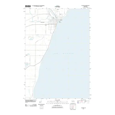
2010 Map of Algoma
USGS Topo · Published 2010About this map
Algoma stands at the mouth of the Ahnapee River where it enters Lake Michigan, serving as a focal point for this 2010 coastal survey. The town's layout and utilities, including the Algoma Utilities Commission, indicate its established role as a hub for this stretch of the Kewaunee County shoreline. To the west, the smaller settlement of Bruemmerville sits near the Henry Iwen Dam, marking a transition from the lakeside urban grid to the interior's agricultural and wooded landscape.
Find a feature on this map
34 named features on this map. Tap any name to fly to it.
Don’t see what you’re looking for? This feature index may not catch every label — zoom into the map to look around manually.
Map Details
Editions of this 2010 Algoma Map
This is the sole edition of this map. No revisions or reprints were ever made.
Other maps of this area

1952 · Casco
USGS Topo · 1:62,500

1954 · Kewaunee
USGS Topo · 1:62,500

1954 · Manitowoc
USGS Topo · 1:250,000

1958 · Manitowoc
USGS Topo · 1:250,000

1960 · Algoma
USGS Topo · 1:62,500

1978 · Casco
USGS Topo · 1:24,000

1978 · Brussels
USGS Topo · 1:24,000
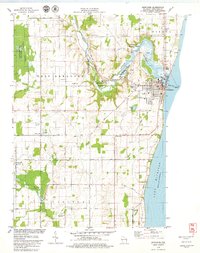
1978 · Kewaunee
USGS Topo · 1:24,000
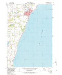
1982 · Algoma
USGS Topo · 1:24,000
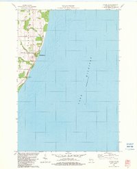
1982 · Algoma NE
USGS Topo · 1:24,000