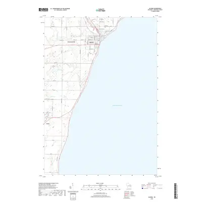
2018 Map of Algoma
USGS Topo · Published 2018About this map
Algoma sits at the mouth of the Ahnapee River where it meets the vast expanse of Lake Michigan. This 2018 survey documents a landscape where the river's winding path into the interior creates a natural focal point for the surrounding community and small satellite settlements like Bruemmerville. The mapping reveals a distinct grid of streets in the municipal center, including State St, Jefferson St, and N Water St, which gives way to the open rural stretches and scattered residential pockets of Alaska to the south.
Find a feature on this map
56 named features on this map. Tap any name to fly to it.
Don’t see what you’re looking for? This feature index may not catch every label — zoom into the map to look around manually.
Map Details
Editions of this 2018 Algoma Map
This is the sole edition of this map. No revisions or reprints were ever made.
Other maps of this area

1952 · Casco
USGS Topo · 1:62,500

1954 · Kewaunee
USGS Topo · 1:62,500

1954 · Manitowoc
USGS Topo · 1:250,000

1958 · Manitowoc
USGS Topo · 1:250,000

1960 · Algoma
USGS Topo · 1:62,500

1978 · Casco
USGS Topo · 1:24,000

1978 · Brussels
USGS Topo · 1:24,000
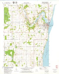
1978 · Kewaunee
USGS Topo · 1:24,000
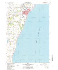
1982 · Algoma
USGS Topo · 1:24,000
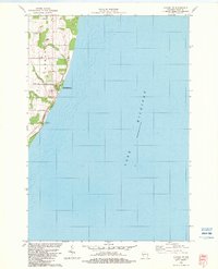
1982 · Algoma NE
USGS Topo · 1:24,000