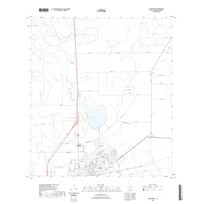
2019 Map of Alice North
USGS Topo · Published 2019About this map
The city of Alice serves as the focal point for this Jim Wells County survey, illustrating the community's expansion northward toward the winding course of Chiltipin Creek. This landscape is defined by an intricate network of intermittent drainages, including San Diego Creek and Resaca de Enmedio, which shape the local topography and drainage patterns. The residential character of the area is evident in the development of Kiesling's Colonia and modern housing additions like Deer Meadows Estate Unit 2.
Find a feature on this map
100 named features on this map. Tap any name to fly to it.
Don’t see what you’re looking for? This feature index may not catch every label — zoom into the map to look around manually.
Map Details
Editions of this 2019 Alice North Map
This is the sole edition of this map. No revisions or reprints were ever made.
Other maps of this area

1917 · Ben Bolt
USGS Topo · 1:62,500

1920 · San Diego
USGS Topo · 1:62,500

1950 · Corpus Christi
USGS Topo · 1:250,000

1954 · Orange Grove
USGS Topo · 1:62,500

1954 · Kingsville
USGS Topo · 1:62,500

1956 · Corpus Christi
USGS Topo · 1:250,000

1956 · Laredo
USGS Topo · 1:250,000

1960 · Corpus Christi
USGS Topo · 1:250,000

1963 · San Diego NE
USGS Topo · 1:24,000

1963 · San Diego
USGS Topo · 1:24,000
Featured Places
- Alice, TX
- Hollow Tree Estates Colonia, TX
- Kiesling's Colonia, Alice
- Del Norte Mobile Home Park Colonia, TX
- Howell Addition Colonia, TX