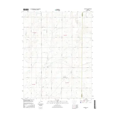
2015 Map of Aliceville
USGS Topo · Published 2015About this map
Aliceville anchors this survey of the rural landscape along the border of Coffey and Anderson counties. The township is characterized by a dense grid of section roads and a network of small watercourses, including Silver Creek and Crooked Creek, which carve gentle drainage patterns through the agricultural terrain. For genealogists and local historians, the map provides precise locations for several rural burial grounds, including Star Cemetery to the north and Altamont Cemetery located just east of the primary settlement. The distribution of Quisling Cemetery and Saint Johns Cemetery further illustrates the scattered nature of early community centers in this part of Kansas. The road network, from 15th Road SE down to 7th Road, reveals a well-established rural infrastructure where small tributaries like Thomas Creek and Bowmans Branch intersect the landscape.
Find a feature on this map
59 named features on this map. Tap any name to fly to it.
Don’t see what you’re looking for? This feature index may not catch every label — zoom into the map to look around manually.
Map Details
Editions of this 2015 Aliceville Map
This is the sole edition of this map. No revisions or reprints were ever made.
Other maps of this area

1885 · Burlington
USGS Topo · 1:125,000

1885 · Garnett
USGS Topo · 1:125,000

1894 · Garnett
USGS Topo · 1:125,000

1894 · Burlington
USGS Topo · 1:125,000

1947 · Lawrence
USGS Topo · 1:250,000

1950 · Lawrence
USGS Topo · 1:250,000

1956 · Lawrence
USGS Topo · 1:250,000

1961 · Lawrence
USGS Topo · 1:250,000
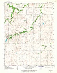
1966 · Westphalia
USGS Topo · 1:24,000
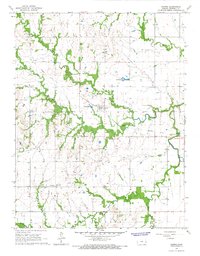
1966 · Harris
USGS Topo · 1:24,000