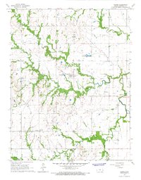
1966 Map of Harris
USGS Topo · Published 1967About this map
Pottawatomie Creek and its many tributaries, including Elm Creek and Kenoma Creek, define the landscape of this Anderson County region during the mid-1960s. The terrain is a network of rural homesteads and agricultural plots, punctuated by the small settlements of Harris, Kenoma, and Amiot. A notable piece of local infrastructure is the Old Railroad Grade which cuts across the prairie, indicating the shifting transportation priorities of the era as rail lines were decommissioned in favor of road networks.
Find a feature on this map
23 named features on this map. Tap any name to fly to it.
Don’t see what you’re looking for? This feature index may not catch every label — zoom into the map to look around manually.
Map Details
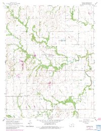
Editions of this 1966 Harris Map
2 editions found
Other maps of this area

1885 · Burlington
USGS Topo · 1:125,000

1885 · Garnett
USGS Topo · 1:125,000

1894 · Garnett
USGS Topo · 1:125,000

1894 · Burlington
USGS Topo · 1:125,000

1947 · Lawrence
USGS Topo · 1:250,000

1950 · Lawrence
USGS Topo · 1:250,000

1956 · Williamsburg
USGS Topo · 1:24,000

1956 · Lawrence
USGS Topo · 1:250,000

1957 · Waverly
USGS Topo · 1:24,000

1961 · Lawrence
USGS Topo · 1:250,000