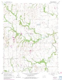
1966 Map of Harris
USGS Topo · Published 1983About this map
Harris serves as the central hub of this eastern Kansas landscape, situated within Reeder township amidst a network of meandering waterways. The drainage patterns of Kenoma Creek, Elm Creek, and Lantha Creek define the local topography, eventually feeding into the larger Pottawatomie Creek in the south. This area demonstrates a well-established rural social structure, evidenced by the distribution of small community centers like Kenoma, Amiot, and Central City.
Find a feature on this map
20 named features on this map. Tap any name to fly to it.
Don’t see what you’re looking for? This feature index may not catch every label — zoom into the map to look around manually.
Map Details
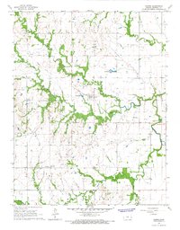
Editions of this 1966 Harris Map
2 editions found
Other maps of this area

1885 · Burlington
USGS Topo · 1:125,000

1885 · Garnett
USGS Topo · 1:125,000

1894 · Garnett
USGS Topo · 1:125,000

1894 · Burlington
USGS Topo · 1:125,000

1947 · Lawrence
USGS Topo · 1:250,000

1950 · Lawrence
USGS Topo · 1:250,000

1956 · Williamsburg
USGS Topo · 1:24,000

1956 · Lawrence
USGS Topo · 1:250,000

1957 · Waverly
USGS Topo · 1:24,000

1961 · Lawrence
USGS Topo · 1:250,000