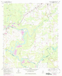
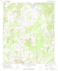
1970 Map of Aliceville South
USGS Topo · Published 1982About this map
Tombigbee River meanders through the heart of this landscape, its complex oxbows and the Dead River cutoff defining the boundary between Pickens and Greene Counties. In the early 1970s, the area retained a deeply rural character, centered around small settlements like Bridgeville and Vienna. Local life is anchored by family and community landmarks such as New Canaan Ch, Trantham Cem, and Providence Ch. The Burlington Northern railroad runs north-south, connecting the larger hub of Aliceville to the river town of Cochrane.
Find a feature on this map
29 named features on this map. Tap any name to fly to it.
Don’t see what you’re looking for? This feature index may not catch every label — zoom into the map to look around manually.
Map Details
Editions of this 1970 Aliceville South Map
3 editions found

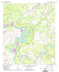
Other maps of this area

1953 · Meridian
USGS Topo · 1:250,000

1953 · West Point
USGS Topo · 1:250,000

1957 · Meridian
USGS Topo · 1:250,000

1958 · West Point
USGS Topo · 1:250,000

1963 · West Point
USGS Topo · 1:250,000

1965 · Meridian
USGS Topo · 1:250,000

1970 · Aliceville North
USGS Topo · 1:24,000
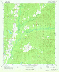
1970 · Cunningham
USGS Topo · 1:24,000
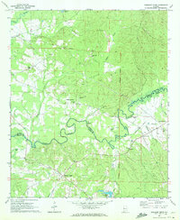
1970 · Pleasant Ridge
USGS Topo · 1:24,000
1970 · West Greene
USGS Topo · 1:24,000