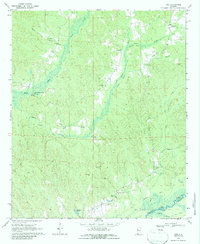
1970 Map of Kirk
USGS Topo · Published 1987About this map
Bear Creek and Sneads Creek wind through the hills of eastern Pickens County in this 1970 snapshot, illustrating a landscape defined by small-scale agriculture and early industrial infrastructure. The presence of Speeds Water Mill along the creek banks serves as a focal point for the rural economy of the era. The mapping record captures several distinct communities such as Kirk and Pleasant Grove, each anchored by local landmarks like Souls Chapel and Mars Hill Ch.
Find a feature on this map
32 named features on this map. Tap any name to fly to it.
Don’t see what you’re looking for? This feature index may not catch every label — zoom into the map to look around manually.
Map Details
Editions of this 1970 Kirk Map
2 editions found
Other maps of this area

1953 · Birmingham
USGS Topo · 1:250,000

1953 · West Point
USGS Topo · 1:250,000

1956 · Birmingham
USGS Topo · 1:250,000

1957 · Birmingham
USGS Topo · 1:250,000

1958 · West Point
USGS Topo · 1:250,000

1963 · West Point
USGS Topo · 1:250,000

1967 · Carrollton
USGS Topo · 1:24,000

1967 · Gordo
USGS Topo · 1:24,000

1967 · Elrod
USGS Topo · 1:24,000
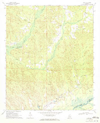
1970 · Kirk
USGS Topo · 1:24,000