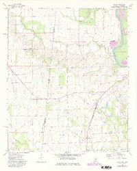
1974 Map of Dancy
USGS Topo · Published 1982About this map
Tombigbee River forms the eastern boundary of this West Alabama landscape, where the state line meets Mississippi. The terrain is defined by a network of creeks including Bogue Chitto, Fenache Creek, and Beaver Creek that drain into the larger river valley. Small communities like Dancy, Cochrane, and Dinsmore are connected by the Burlington Northern railroad, which runs parallel to the river.
Find a feature on this map
23 named features on this map. Tap any name to fly to it.
Don’t see what you’re looking for? This feature index may not catch every label — zoom into the map to look around manually.
Map Details
Editions of this 1974 Dancy Map
2 editions found
Other maps of this area

1953 · Meridian
USGS Topo · 1:250,000

1953 · West Point
USGS Topo · 1:250,000

1957 · Meridian
USGS Topo · 1:250,000

1958 · West Point
USGS Topo · 1:250,000

1963 · West Point
USGS Topo · 1:250,000

1965 · Meridian
USGS Topo · 1:250,000

1970 · Aliceville North
USGS Topo · 1:24,000

1970 · Aliceville South
USGS Topo · 1:24,000

1970 · Warsaw
USGS Topo · 1:24,000

1973 · Panola
USGS Topo · 1:24,000