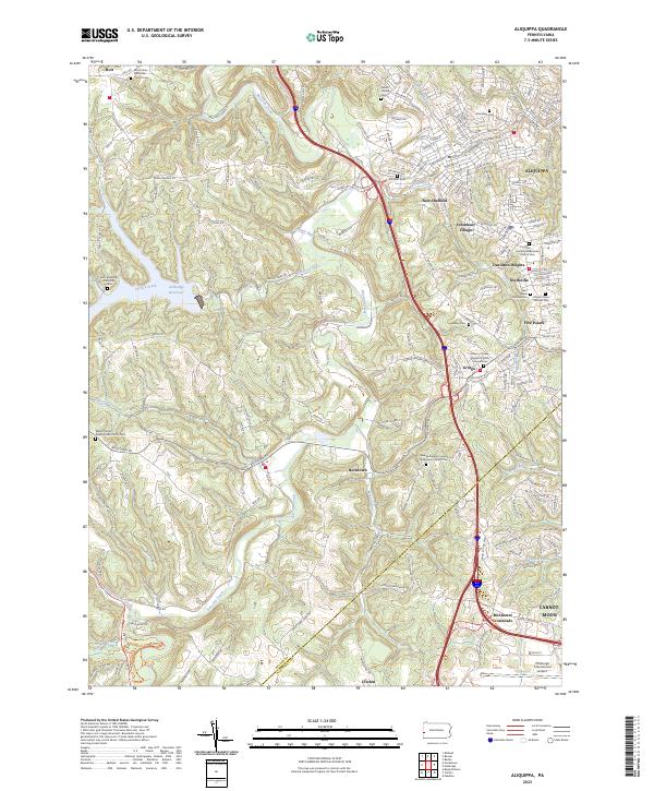
2023 Map of Aliquippa
USGS Topo · Published 2023About this map
Aliquippa and its surrounding hill country define this portion of Beaver County, where the landscape is marked by steep valleys and a dense network of suburban and rural settlements. The northern edge of the Pittsburgh International Airport grounds reaches into the southern margin, contrasting with the more secluded reaches of the Ambridge Reservoir to the west. The area's spiritual and genealogical history is deeply rooted in its numerous churchyards and burial grounds, including the Saint Elijah Serbian Cem and the New Bethlehem United Presbyterian Church Cem.
Find a feature on this map
38 named features on this map. Tap any name to fly to it.
Don’t see what you’re looking for? This feature index may not catch every label — zoom into the map to look around manually.
Map Details
Editions of this 2023 Aliquippa Map
This is the sole edition of this map. No revisions or reprints were ever made.
Other maps of this area

1901 · Beaver
USGS Topo · 1:62,500

1904 · Beaver
USGS Topo · 1:62,500

1904 · Carnegie
USGS Topo · 1:62,500

1904 · Burgettstown
USGS Topo · 1:62,500

1906 · Burgettstown
USGS Topo · 1:62,500

1906 · Carnegie
USGS Topo · 1:62,500

1906 · Sewickley
USGS Topo · 1:62,500

1908 · Sewickley
USGS Topo · 1:62,500

1908 · Carnegie
USGS Topo · 1:62,500

1951 · Canton
USGS Topo · 1:250,000