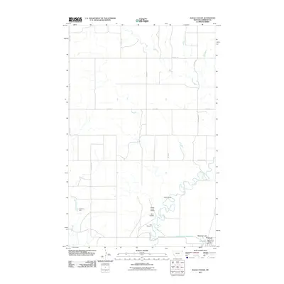
2011 Map of Alkali Coulee
USGS Topo · Published 2011About this map
Medicine Lake anchors the southeastern corner of this Sheridan County landscape, where the town's essential services like the Medicine Lake Post Office and the Medicine Lake Vol Fire Dept Sta 1 reflect a tight-knit rural hub. The regional economy is marked by local commerce such as Olson Trading and a complex water management system designed for the arid environment. Significant engineering is evident in the Diversion Ditch Number One, Dam Number 1, and Engstrom Dam, which regulate the flow of Big Muddy Creek and Wolf Creek.
Find a feature on this map
26 named features on this map. Tap any name to fly to it.
Don’t see what you’re looking for? This feature index may not catch every label — zoom into the map to look around manually.
Map Details
Editions of this 2011 Alkali Coulee Map
This is the sole edition of this map. No revisions or reprints were ever made.
Other maps of this area

1914 · Homestead
USGS Topo · 1:62,500

1947 · Homestead
USGS Topo · 1:24,000

1948 · Homestead
USGS Topo · 1:24,000

1948 · Medicine Lake
USGS Topo · 1:24,000

1948 · Reserve
USGS Topo · 1:24,000

1948 · Alkali Coulee
USGS Topo · 1:24,000

1948 · Antelope
USGS Topo · 1:24,000

1949 · Reserve
USGS Topo · 1:24,000

1949 · Antelope
USGS Topo · 1:24,000

1949 · Alkali Coulee
USGS Topo · 1:24,000