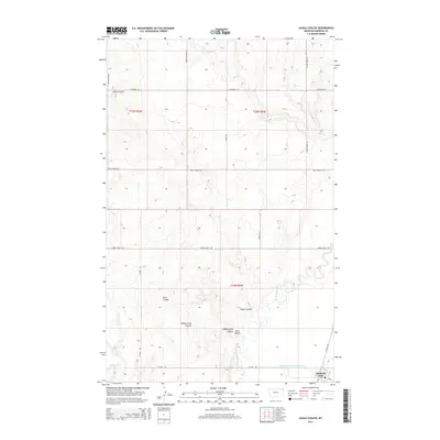
2014 Map of Alkali Coulee
USGS Topo · Published 2014About this map
Medicine Lake anchors the southeastern corner of this Sheridan County landscape, where the town's grid meets the engineered flow of Diversion Ditch Number One. The terrain is defined by a series of dramatic erosional features, most notably the winding path of Alkali Coulee and the branching ravines of Mine Coulee and Sheep Camp Coulee. These coulees drain toward the significant waterway of Big Muddy Creek, which snakes through the eastern half of the quadrangle.
Find a feature on this map
23 named features on this map. Tap any name to fly to it.
Don’t see what you’re looking for? This feature index may not catch every label — zoom into the map to look around manually.
Map Details
Editions of this 2014 Alkali Coulee Map
This is the sole edition of this map. No revisions or reprints were ever made.
Other maps of this area

1914 · Homestead
USGS Topo · 1:62,500

1947 · Homestead
USGS Topo · 1:24,000

1948 · Homestead
USGS Topo · 1:24,000

1948 · Medicine Lake
USGS Topo · 1:24,000

1948 · Reserve
USGS Topo · 1:24,000

1948 · Alkali Coulee
USGS Topo · 1:24,000

1948 · Antelope
USGS Topo · 1:24,000

1949 · Reserve
USGS Topo · 1:24,000

1949 · Antelope
USGS Topo · 1:24,000

1949 · Alkali Coulee
USGS Topo · 1:24,000