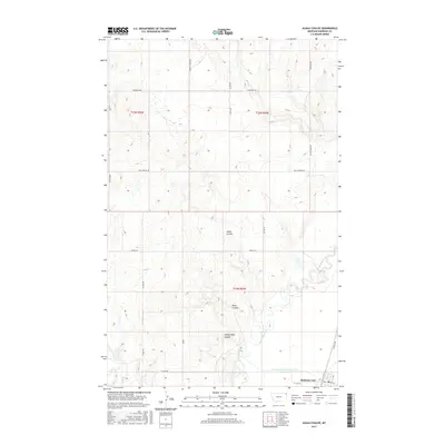
2017 Map of Alkali Coulee
USGS Topo · Published 2017About this map
Medicine Lake anchors the southeastern corner of this Sheridan County landscape, where the town grid meets the winding course of Big Muddy Creek. The terrain is defined by a series of deep drainages, including Alkali Coulee, Mine Coulee, and Sheep Camp Coulee, which cut through the high plains toward the creek basin. This 2017 survey illustrates the intersection of water management and rural transit, featuring the Diversion Ditch Number One alongside a network of section-line roads and named routes like Burma Trl and Whiskey Rd. The map provides a clear view of the Public Land Survey System divisions, with townships t33n r55e and t32n r55e capturing the agricultural character of the region. Local historians can trace the paths of Otter Cr and Wolf Cr as they navigate the subtle elevations of the Montana prairie.
Find a feature on this map
24 named features on this map. Tap any name to fly to it.
Don’t see what you’re looking for? This feature index may not catch every label — zoom into the map to look around manually.
Map Details
Editions of this 2017 Alkali Coulee Map
This is the sole edition of this map. No revisions or reprints were ever made.
Other maps of this area

1914 · Homestead
USGS Topo · 1:62,500

1947 · Homestead
USGS Topo · 1:24,000

1948 · Homestead
USGS Topo · 1:24,000

1948 · Medicine Lake
USGS Topo · 1:24,000

1948 · Reserve
USGS Topo · 1:24,000

1948 · Alkali Coulee
USGS Topo · 1:24,000

1948 · Antelope
USGS Topo · 1:24,000

1949 · Reserve
USGS Topo · 1:24,000

1949 · Antelope
USGS Topo · 1:24,000

1949 · Alkali Coulee
USGS Topo · 1:24,000