
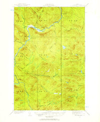
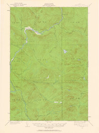
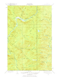
1932 Map of Allagash Falls
USGS Topo · Published 1932About this map
Allagash River and the Musquacook River define this wilderness landscape in Northern Maine during the early 1930s. The topographic detail highlights a region deeply tied to the timber industry and river-based transport, where isolated outposts like Cunliffe Depot Camp and McKeen Camp served as vital hubs for seasonal work. Settlement patterns are sparse, consisting primarily of remote agricultural clearings such as Michaud Farm and Moore's Farm along the river bends.
Find a feature on this map
44 named features on this map. Tap any name to fly to it.
Don’t see what you’re looking for? This feature index may not catch every label — zoom into the map to look around manually.
Map Details
Editions of this 1932 Allagash Falls Map
4 editions found
Other maps of this area

1930 · Allagash
USGS Topo · 1:48,000

1930 · St Francis
USGS Topo · 1:48,000

1931 · Fish River Lake
USGS Topo · 1:48,000

1931 · Mooseleuk Lake
USGS Topo · 1:48,000

1932 · Umsaskis Lake
USGS Topo · 1:48,000

1932 · Musquacook Lakes
USGS Topo · 1:48,000

1933 · Allagash
USGS Topo · 1:62,500

1933 · St Francis
USGS Topo · 1:62,500

1935 · Umsaskis Lake
USGS Topo · 1:62,500

1935 · Musquacook Lakes
USGS Topo · 1:62,500