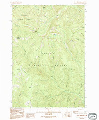
1991 Map of Allan Mountain
USGS Topo · Published 1995About this map
Allan Mountain dominates the high-altitude topography of the Northern Rockies, where the Bitterroot National Forest meets the Salmon National Forest. This rugged terrain is defined by the Montana-Idaho state line and the Ravalli-Lemhi County Divide, marking a remote and sparsely settled wilderness area in the early 1990s. The landscape is carved by numerous drainages, including Hughes Creek and Twin Creek, with narrow ridges like Butcherknife Ridge separating steep mountain slopes. Evidence of geologic exploration appears in the eastern sector near Ditch Creek, where a Mine Shaft and several Prospect labels indicate small-scale mining activity. For the researcher, the map preserves old forest landmarks such as Salzer Bar and a network of named water sources like Tincup Spring and Bear Wallow Spring, characteristic of the region's high-country resource management.
Find a feature on this map
35 named features on this map. Tap any name to fly to it.
Don’t see what you’re looking for? This feature index may not catch every label — zoom into the map to look around manually.
Map Details
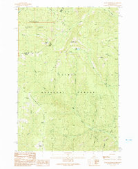
Editions of this 1991 Allan Mountain Map
2 editions found
Other maps of this area

1955 · Dillon
USGS Topo · 1:250,000

1956 · Elk City
USGS Topo · 1:250,000

1957 · Dillon
USGS Topo · 1:250,000

1958 · Dillon
USGS Topo · 1:250,000

1960 · Elk City
USGS Topo · 1:250,000

1960 · Ulysses Mtn
USGS Topo · 1:62,500

1960 · Piquett Mountain
USGS Topo · 1:62,500

1962 · Dillon
USGS Topo · 1:250,000

1965 · Dillon
USGS Topo · 1:250,000

1966 · Lost Trail Pass
USGS Topo · 1:24,000