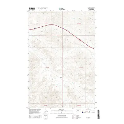
2014 Map of Allard
USGS Topo · Published 2014About this map
Allard stands as the primary focal point of this eastern Montana landscape, situated at a junction where the open plains are carved by an intricate drainage system. The topography is defined by the winding paths of Glendive Cr and Frank Cr, which navigate the township and range boundaries of t15n r56e and t15n r57e. This 2014 survey illustrates a rural environment where infrastructure is light but purposeful, dominated by the path of Interstate 94 and local thoroughfares like Allard Rd and Road 300. The drainage patterns of Griffith Cr in the north and Hodges Cr in the southeast reveal the natural erosion and water management needs of Dawson County's agricultural and ranching lands.
Find a feature on this map
14 named features on this map. Tap any name to fly to it.
Don’t see what you’re looking for? This feature index may not catch every label — zoom into the map to look around manually.
Map Details
Editions of this 2014 Allard Map
This is the sole edition of this map. No revisions or reprints were ever made.
Other maps of this area

1909 · Glendive
USGS Topo · 1:250,000

1953 · Miles City
USGS Topo · 1:250,000

1954 · Glendive
USGS Topo · 1:250,000

1957 · Miles City
USGS Topo · 1:250,000

1957 · Glendive
USGS Topo · 1:250,000

1958 · Miles City
USGS Topo · 1:250,000

1958 · Glendive
USGS Topo · 1:250,000

1967 · Stipek
USGS Topo · 1:24,000

1967 · Allard
USGS Topo · 1:24,000

1967 · Belle Prairie
USGS Topo · 1:24,000