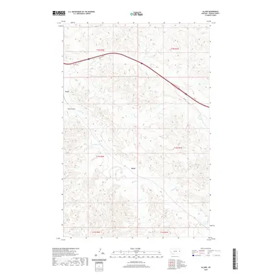
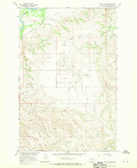
2020 Map of Allard
USGS Topo · Published 2020About this map
Allard and Curry serve as the primary points of settlement in this part of Dawson County, where the high plains are deeply dissected by an intricate drainage network. The landscape is defined by the winding course of Glendive Cr, which is fed by numerous tributaries including Griffith Cr, Krug Cr, and Frank Cr. These waterways have carved significant relief into the terrain, most notably at Kinney Coulee in the western portion of the quadrangle.
Find a feature on this map
18 named features on this map. Tap any name to fly to it.
Don’t see what you’re looking for? This feature index may not catch every label — zoom into the map to look around manually.
Map Details
Editions of this 2020 Allard Map
This is the sole edition of this map. No revisions or reprints were ever made.
Other maps of this area

1909 · Glendive
USGS Topo · 1:250,000

1953 · Miles City
USGS Topo · 1:250,000
1954 · Glendive
USGS Topo · 1:250,000
1957 · Miles City
USGS Topo · 1:250,000
1957 · Glendive
USGS Topo · 1:250,000
1958 · Miles City
USGS Topo · 1:250,000
1958 · Glendive
USGS Topo · 1:250,000
1967 · Stipek
USGS Topo · 1:24,000
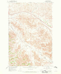
1967 · Allard
USGS Topo · 1:24,000
1967 · Belle Prairie
USGS Topo · 1:24,000