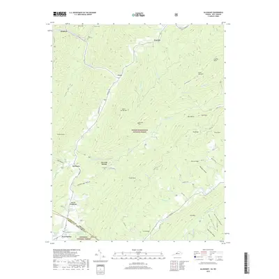
2019 Map of Alleghany
USGS Topo · Published 2019About this map
Sweet Springs and the surrounding borderlands of Monroe Co and Alleghany Co are defined by a series of mineral springs and steep ridges along the Virginia and West Virginia line. The local economy and social history are tied to these water sources, including Sweet Chalybeate and the Rowan Memorial Home Spring. Transportation in this mountain corridor is anchored by the Kanawha Trail and the engineering of the Lewis Tunnel, which cuts through the high ground of Lewis Mountain. Small pockets of settlement like Earlehurst and Crows sit in the valleys between Peters Mountain and Sweet Springs Mountain, while the George Washington National Forest and Jefferson National Forest cover much of the surrounding terrain. Genealogists may find value in the presence of the Lewis Tunnel Cemetery and Carter Cemetery, which mark the early residential and labor history of this highland region.
Find a feature on this map
73 named features on this map. Tap any name to fly to it.
Don’t see what you’re looking for? This feature index may not catch every label — zoom into the map to look around manually.
Map Details
Editions of this 2019 Alleghany Map
This is the sole edition of this map. No revisions or reprints were ever made.
Other maps of this area

1887 · Lewisburg
USGS Topo · 1:125,000

1891 · Lewisburg
USGS Topo · 1:125,000

1921 · Callaghan
USGS Topo · 1:48,000

1921 · White Sulphur Springs
USGS Topo · 1:48,000

1921 · Ronceverte
USGS Topo · 1:48,000

1923 · White Sulphur Springs
USGS Topo · 1:62,500

1923 · Ronceverte
USGS Topo · 1:62,500

1923 · Callaghan
USGS Topo · 1:62,500

1935 · White Sulphur Springs
USGS Topo · 1:62,500

1939 · White Sulphur Springs
USGS Topo · 1:62,500