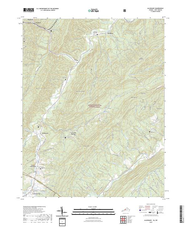
2022 Map of Alleghany
USGS Topo · Published 2022About this map
Sweet Springs Valley serves as a distinct geographical focus where the terrain of the George Washington National Forest meets the historic mineral spring corridor of the Virginia and West Virginia border. This map documents a landscape defined by its thermal waters and early settlement patterns, notably the sites of Sweet Chalybeate Springs and Old Sweet Springs. The presence of numerous small family burial grounds, such as the Hardiman Family Cem and Stone Family Cem, suggests a long history of generational residency in the hollows and along the ridges.
Find a feature on this map
83 named features on this map. Tap any name to fly to it.
Don’t see what you’re looking for? This feature index may not catch every label — zoom into the map to look around manually.
Map Details
Editions of this 2022 Alleghany Map
This is the sole edition of this map. No revisions or reprints were ever made.
Other maps of this area

1887 · Lewisburg
USGS Topo · 1:125,000

1891 · Lewisburg
USGS Topo · 1:125,000

1921 · Callaghan
USGS Topo · 1:48,000

1921 · White Sulphur Springs
USGS Topo · 1:48,000

1921 · Ronceverte
USGS Topo · 1:48,000

1923 · White Sulphur Springs
USGS Topo · 1:62,500

1923 · Ronceverte
USGS Topo · 1:62,500

1923 · Callaghan
USGS Topo · 1:62,500

1935 · White Sulphur Springs
USGS Topo · 1:62,500

1939 · White Sulphur Springs
USGS Topo · 1:62,500