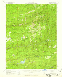
1950 Map of Alleghany
USGS Topo · Published 1959About this map
Alleghany and the surrounding gold-rich drainage of the Middle Yuba River dominate this mid-century survey, capturing a landscape deeply etched by California's hydraulic mining era. The map documents the extensive scarred terrain of the Malakoff Diggings and the Placer Diggings near North Columbia, alongside numerous hard-rock operations such as the Kenton Mine and Gold Star Mine. The settlement pattern reflects the evolution of the Gold Country, where active towns like North Bloomfield persist alongside former boomtown locations including Moores Flat, Woolsey Flat, and Orleans Flat. High ridges such as Washington Ridge and Harmony Ridge separate the river forks, while infrastructure like the Deer Creek Powerhouse and White Cloud Guard Sta signify the transition to twentieth-century resource management within the Tahoe National Forest.
Find a feature on this map
122 named features on this map. Tap any name to fly to it.
Don’t see what you’re looking for? This feature index may not catch every label — zoom into the map to look around manually.
Map Details
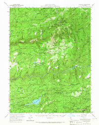
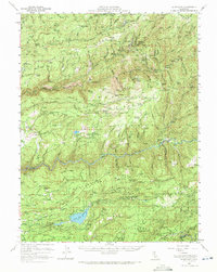
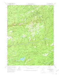
Editions of this 1950 Alleghany Map
4 editions found
Other maps of this area

1888 · Smartsville
USGS Topo · 1:125,000

1888 · Bidwell Bar
USGS Topo · 1:125,000

1891 · Bidwell Bar
USGS Topo · 1:125,000

1891 · Downieville
USGS Topo · 1:125,000

1891 · Colfax
USGS Topo · 1:125,000

1891 · Smartsville
USGS Topo · 1:125,000

1892 · Smartsville
USGS Topo · 1:125,000

1892 · Colfax
USGS Topo · 1:125,000

1893 · Bidwell Bar
USGS Topo · 1:125,000

1893 · Downieville
USGS Topo · 1:125,000