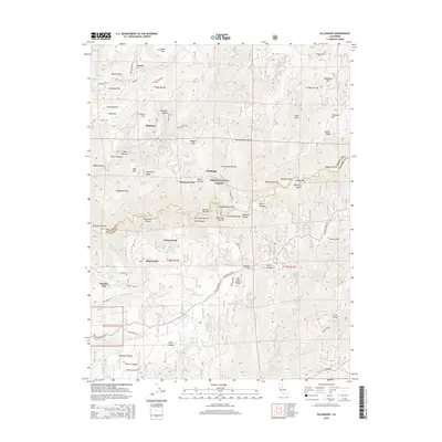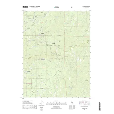
2000 Map of Alleghany
USGS Topo · Published 2003About this map
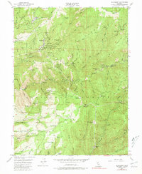
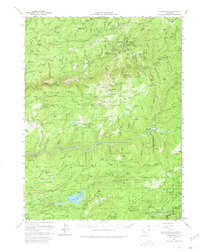
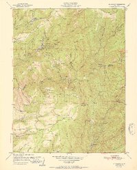
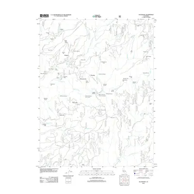
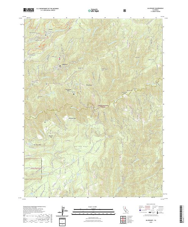
The settlement of Alleghany serves as the focal point for this landscape in the northern Mother Lode, where the ridges of the Tahoe National Forest are carved by the Middle Yuba River and Kanaka Creek. This area's history is defined by its gold-bearing gravels and quartz veins, as evidenced by the dense concentration of industrial sites such as the Oriental Mine and the Tightner Mine. The map documents a geography of transition, identifying former mining camps and hydraulic operations that have receded into the forest, including Moores Flat, Woolsey Flat, and Orleans Flat. High-altitude travel is dictated by the terrain, with routes like the Truckee Ditch Trail and Henness Pass Road following the contours of Pliocene Ridge. This survey captures the region as a mix of active forest management, ranching at Hagerty Ranch, and the enduring remnants of California's mineral heritage.
Find a feature on this map
70 named features on this map. Tap any name to fly to it.
Don’t see what you’re looking for? This feature index may not catch every label — zoom into the map to look around manually.
Map Details
Editions of this 2000 Alleghany Map
This is the sole edition of this map. No revisions or reprints were ever made.
Historical Maps of Christmas Tree Ranches Through Time
8 maps found