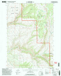
1993 Map of Allen Draw
USGS Topo · Published 1997About this map
Medicine Lodge Big Game Winter Range dominates the western edge of this territory, where the steep terrain drops into Medicine Lodge Canyon. This 1993 revision by the U.S. Forest Service documents a transition between protected wildlife habitat and the high-elevation resources of the Bighorn National Forest. The map captures the infrastructure of federal land management, showing the Long View R S (Abandoned) and Greers Cow Camp amidst a complex network of 4WD roads and pack trails. Water management for grazing is evident through numerous Stock Ponds scattered across the eastern plateaus. To the south, the Paintrock Tensleep Rd and Main Paint Rock Trail follow the drainage of Paint Rock Creek, providing access to distinct geological landmarks like Paint Rock and The Island.
Find a feature on this map
31 named features on this map. Tap any name to fly to it.
Don’t see what you’re looking for? This feature index may not catch every label — zoom into the map to look around manually.
Map Details
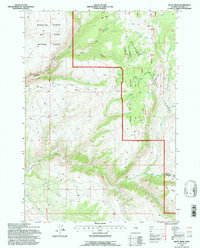
Editions of this 1993 Allen Draw Map
2 editions found
Other maps of this area

1899 · Cloud peak
USGS Topo · 1:125,000

1901 · Cloud Peak
USGS Topo · 1:125,000

1955 · Sheridan
USGS Topo · 1:250,000

1958 · Sheridan
USGS Topo · 1:250,000

1960 · Shell Lake
USGS Topo · 1:24,000

1960 · Lake Solitude
USGS Topo · 1:24,000

1960 · Spanish Point
USGS Topo · 1:24,000

1960 · Hyatt Ranch
USGS Topo · 1:24,000
1960 · Bush Butte
USGS Topo · 1:24,000

1962 · Sheridan
USGS Topo · 1:250,000