
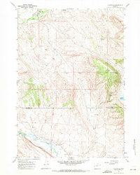
1960 Map of Hyatt Ranch
USGS Topo · Published 1962About this map
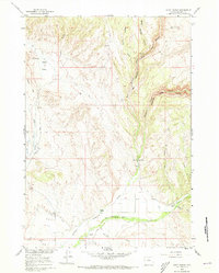
Taylor Ranch and Greer Ranch anchor this 1960 survey of Big Horn County, showcasing a landscape defined by its vital water sources and deep canyons. The map documents the transition from the arid Alkali Flats in the west to the dramatic incisions of Medicine Lodge Canyon in the east. Along the southern edge, Paint Rock Creek provides a fertile corridor for the Hyatt Ranch and the Pritchards Grove Picnic Area. This era of land management is reflected in the network of irrigation ditches and isolated gaging stations along the creeks. For those tracing local families, the Hyattville Cem is located near the intersection of several early access routes. Natural landmarks such as The Arch and numerous springs like Alkali Spring and Meyers Spring indicate the critical points for livestock and travel in this high-plains environment.
Find a feature on this map
24 named features on this map. Tap any name to fly to it.
Don’t see what you’re looking for? This feature index may not catch every label — zoom into the map to look around manually.
Map Details
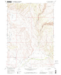
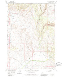
Editions of this 1960 Hyatt Ranch Map
4 editions found
Other maps of this area

1899 · Cloud peak
USGS Topo · 1:125,000

1901 · Cloud Peak
USGS Topo · 1:125,000

1955 · Sheridan
USGS Topo · 1:250,000

1958 · Sheridan
USGS Topo · 1:250,000

1960 · White Sulphur Spring
USGS Topo · 1:24,000

1960 · Flitner Reservoir
USGS Topo · 1:24,000

1960 · Spanish Point
USGS Topo · 1:24,000
1960 · Bush Butte
USGS Topo · 1:24,000

1962 · Sheridan
USGS Topo · 1:250,000
1967 · Hyattville
USGS Topo · 1:24,000