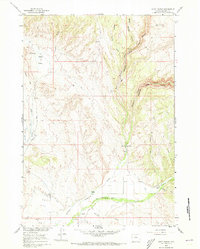
1960 Map of Hyatt Ranch
USGS Topo · Published 1973About this map
Hyatt Ranch and its neighboring agricultural homesteads anchor this 1960 landscape in Big Horn County, where the high desert terrain meets complex drainage networks. The map documents a transition from the dry Alkali Flats in the west to the deeply carved Medicine Lodge Canyon in the east. Water management is a defining characteristic of the area's development, evidenced by the Supply Ditch, Highland Ditch, and Go-Ahead Ditch which redirect natural flows to sustain the ranching operations. Along the southern edge, the confluence of Paint Rock Creek and Medicine Lodge Creek creates a narrow verdant corridor, providing a location for the Pritchards Grove Picnic Area and the Hyattville Cemetery. The map also captures specific natural landmarks like The Arch and numerous seasonal water sources such as Meyers Spring and Prairie Dog Spring.
Find a feature on this map
31 named features on this map. Tap any name to fly to it.
Don’t see what you’re looking for? This feature index may not catch every label — zoom into the map to look around manually.
Map Details
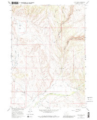
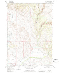
Editions of this 1960 Hyatt Ranch Map
4 editions found
Other maps of this area

1899 · Cloud peak
USGS Topo · 1:125,000

1901 · Cloud Peak
USGS Topo · 1:125,000

1955 · Sheridan
USGS Topo · 1:250,000

1958 · Sheridan
USGS Topo · 1:250,000

1960 · White Sulphur Spring
USGS Topo · 1:24,000

1960 · Flitner Reservoir
USGS Topo · 1:24,000

1960 · Spanish Point
USGS Topo · 1:24,000

1960 · Hyatt Ranch
USGS Topo · 1:24,000
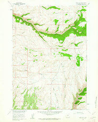
1960 · Bush Butte
USGS Topo · 1:24,000

1962 · Sheridan
USGS Topo · 1:250,000