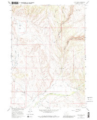
1960 Map of Hyatt Ranch
USGS Topo · Published 1985About this map
Medicine Lodge Creek and its complex of canyons define this Big Horn County landscape, where the water has carved deep paths through the high plains. The area is characterized by a sophisticated network of irrigation systems developed for ranching, including the Military Ditch, Big Bear Ditch, and Supply Ditch. These human-made waterways support established operations such as the Hyatt Ranch, Taylor Ranch, and Greer Ranch, which anchor the local geography.
Find a feature on this map
28 named features on this map. Tap any name to fly to it.
Don’t see what you’re looking for? This feature index may not catch every label — zoom into the map to look around manually.
Map Details
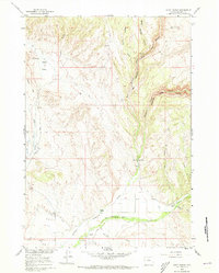
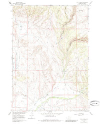
Editions of this 1960 Hyatt Ranch Map
4 editions found
Other maps of this area

1899 · Cloud peak
USGS Topo · 1:125,000

1901 · Cloud Peak
USGS Topo · 1:125,000

1955 · Sheridan
USGS Topo · 1:250,000

1958 · Sheridan
USGS Topo · 1:250,000

1960 · White Sulphur Spring
USGS Topo · 1:24,000

1960 · Flitner Reservoir
USGS Topo · 1:24,000

1960 · Spanish Point
USGS Topo · 1:24,000

1960 · Hyatt Ranch
USGS Topo · 1:24,000
1960 · Bush Butte
USGS Topo · 1:24,000

1962 · Sheridan
USGS Topo · 1:250,000