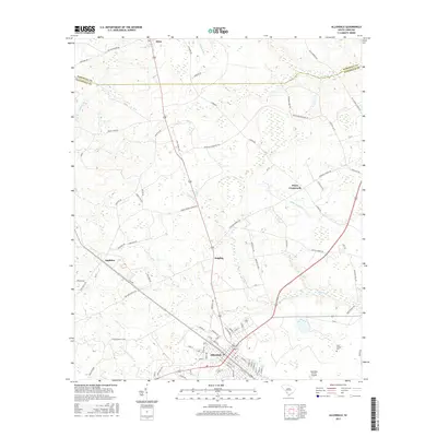
2017 Map of Allendale
USGS Topo · Published 2017About this map
Allendale serves as the primary hub of this Lowcountry landscape, where the southern reaches of the county seat meet the headwaters of the Coosawhatchie River. The terrain is defined by a dense network of blackwater drainages including Miller Swamp, Jackson Br, and Duck Br, which weave through the agricultural and timber lands of the coastal plain. Smaller community centers such as Seigling, Appleton, and Hayes Crossroads mark the intersections of rural routes, reflecting a settlement pattern deeply tied to regional transit and local farming.
Find a feature on this map
88 named features on this map. Tap any name to fly to it.
Don’t see what you’re looking for? This feature index may not catch every label — zoom into the map to look around manually.
Map Details
Editions of this 2017 Allendale Map
This is the sole edition of this map. No revisions or reprints were ever made.
Other maps of this area

1918 · Varnville
USGS Topo · 1:62,500

1919 · Olar
USGS Topo · 1:62,500

1919 · Allendale
USGS Topo · 1:62,500

1920 · Peeples
USGS Topo · 1:62,500

1943 · Olar
USGS Topo · 1:62,500

1943 · Allendale
USGS Topo · 1:62,500

1943 · Peeples
USGS Topo · 1:62,500

1944 · Varnville
USGS Topo · 1:62,500

1947 · Savannah
USGS Topo · 1:250,000

1948 · Savannah
USGS Topo · 1:250,000