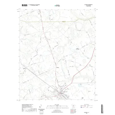
2020 Map of Allendale
USGS Topo · Published 2020About this map
Allendale serves as the focal point of this South Carolina Lowcountry study, situated at the junction of several critical regional routes and host to the Allendale County Courthouse. The landscape is defined by its transition from agricultural fields to the wetlands of the Coosawhatchie River and Miller Swamp. Small residential clusters and historic crossroads like Seigling, Appleton, and Hayes Crossroads are interspersed throughout the terrain, connected by a network of memorial and family-named roads such as McMillion Memorial Rd and Sycamore Rd. Educational and civic life is anchored by the University of South Carolina - Salkehatchie campus, while the Allendale County Airport and the railroad corridors indicate the modern transport infrastructure. To the north, the boundary between Barnwell Co and Allendale Co is clearly delineated near the settlement of Kline.
Find a feature on this map
83 named features on this map. Tap any name to fly to it.
Don’t see what you’re looking for? This feature index may not catch every label — zoom into the map to look around manually.
Map Details
Editions of this 2020 Allendale Map
This is the sole edition of this map. No revisions or reprints were ever made.
Other maps of this area

1918 · Varnville
USGS Topo · 1:62,500

1919 · Olar
USGS Topo · 1:62,500

1919 · Allendale
USGS Topo · 1:62,500

1920 · Peeples
USGS Topo · 1:62,500

1943 · Olar
USGS Topo · 1:62,500

1943 · Allendale
USGS Topo · 1:62,500

1943 · Peeples
USGS Topo · 1:62,500

1944 · Varnville
USGS Topo · 1:62,500

1947 · Savannah
USGS Topo · 1:250,000

1948 · Savannah
USGS Topo · 1:250,000