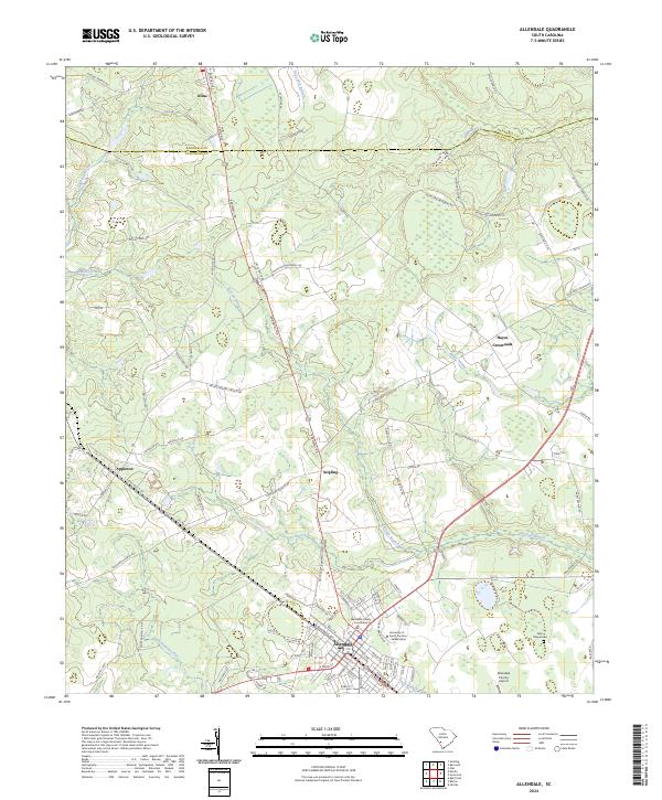
2024 Map of Allendale
USGS Topo · Published 2024About this map
Allendale serves as the focal point of this Lowcountry survey, where the Allendale County Courthouse and the University of South Carolina Salkehatchie anchor the community's civic and educational life. The landscape is defined by the headwaters of the Coosawhatchie River and numerous drainages like Duck Branch and Miller Swamp, which weave through the agricultural and forested terrain. Further north, the boundary between Barnwell Co and Allendale Co runs through a region dotted with smaller settlements including Appleton, Seigling, and Kline. The network of local roads, such as McMillian Memorial Rd and Concord Church Rd, reveals a rural pattern of development where family names and local landmarks like Hayes Crossroads and Allen Chapel Cem mark the intersections of South Carolina history.
Find a feature on this map
99 named features on this map. Tap any name to fly to it.
Don’t see what you’re looking for? This feature index may not catch every label — zoom into the map to look around manually.
Map Details
Editions of this 2024 Allendale Map
This is the sole edition of this map. No revisions or reprints were ever made.
Other maps of this area

1918 · Varnville
USGS Topo · 1:62,500

1919 · Olar
USGS Topo · 1:62,500

1919 · Allendale
USGS Topo · 1:62,500

1920 · Peeples
USGS Topo · 1:62,500

1943 · Olar
USGS Topo · 1:62,500

1943 · Allendale
USGS Topo · 1:62,500

1943 · Peeples
USGS Topo · 1:62,500

1944 · Varnville
USGS Topo · 1:62,500

1947 · Savannah
USGS Topo · 1:250,000

1948 · Savannah
USGS Topo · 1:250,000