Loading...
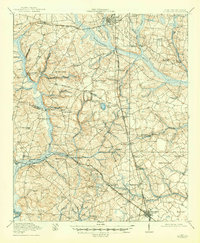
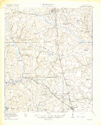
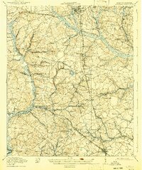
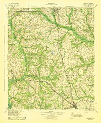
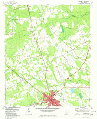
Loading map...1919 Map of Allendale
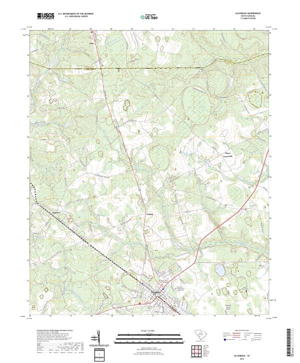
USGS Topo · Published 1947About this map
Allendale and Barnwell serve as the primary anchors for this 1918 survey of the South Carolina lowcountry, a landscape defined by the winding course of the Salkehatchie River and its numerous swamps and ponds. The region’s economic life is traced through a dense network of railroads, including the Atlantic Coast Line, the Southern, and the Charleston and Western Carolina. These rail lines connect small agricultural settlements and rural post offices like Lyndhurst, Kline, and Thomas PO.
Find a feature on this map
68 named features on this map. Tap any name to fly to it.
Don’t see what you’re looking for? This feature index may not catch every label — zoom into the map to look around manually.
Map Details
Date Portrayed1919
Date Published1947
PublisherU.S. Geological Survey
Map TypeTopographic
Scale1:62,500
Physical Dimensions16.9 x 20.5 inches
Editions of this 1919 Allendale Map
4 editions found

Historical Maps of Barnwell Through Time
8 maps found

Featured Locations
Source Details
SourceU.S. Geological Survey
CopyrightPublic Domain