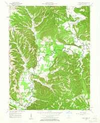
1957 Map of Allens Creek
USGS Topo · Published 1959About this map
Salt Creek meanders through the heart of this landscape, its winding course defining the transition between the Morgan and Monroe State Forest to the north and the expansive Hoosier National Forest to the south. In the late 1950s, the area remained a tapestry of small rural communities and timbered ridges, prior to the large-scale changes brought by later reservoir construction. The settlement of Fairfax sits near a prominent bend in the river, while the tiny hamlet of Handy is situated further west.
Find a feature on this map
53 named features on this map. Tap any name to fly to it.
Don’t see what you’re looking for? This feature index may not catch every label — zoom into the map to look around manually.
Map Details
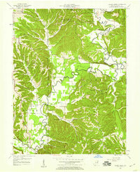
Editions of this 1957 Allens Creek Map
Other maps of this area

1908 · Bloomington
USGS Topo · 1:48,000

1910 · Bloomington
USGS Topo · 1:62,500

1934 · Bedford
USGS Topo · 1:48,000

1935 · Oolitic
USGS Topo · 1:48,000

1937 · Bedford
USGS Topo · 1:62,500

1942 · Franklin
USGS Topo · 1:125,000

1942 · Oolitic
USGS Topo · 1:62,500

1946 · Belmont
USGS Topo · 1:24,000

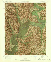
1947 · Allens Creek
USGS Topo · 1:24,000

1947 · Unionville
USGS Topo · 1:24,000