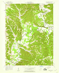
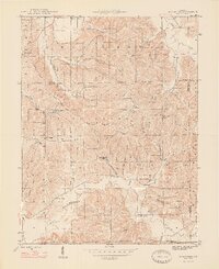
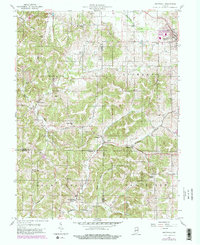
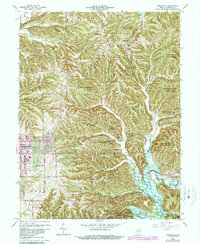
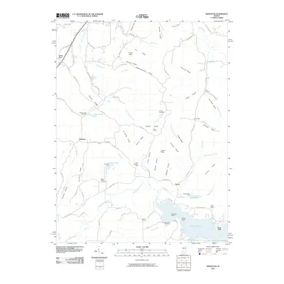
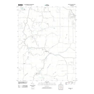
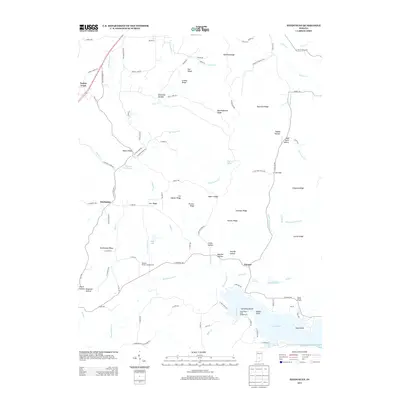
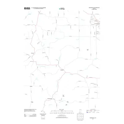
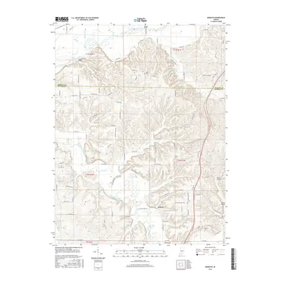
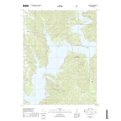
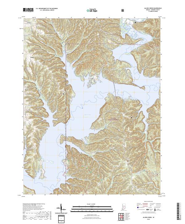
1957 Map of Allens Creek
USGS Topo · Published 1959About this map
Salt Creek and its many meandering tributaries define the landscape of this southern Indiana region during the late 1950s. The map illustrates a rural society organized around small crossroads and family-named hollows, including Handy and the settlement of Fairfax. The area is notably dense with community institutions, from the Blackwell Ch and Mount Calvary Ch to educational landmarks like Chapel Hill Sch and Butcher Sch.
Find a feature on this map
51 named features on this map. Tap any name to fly to it.
Don’t see what you’re looking for? This feature index may not catch every label — zoom into the map to look around manually.
Map Details
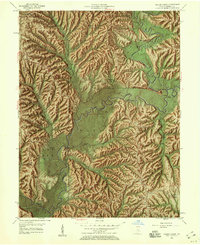
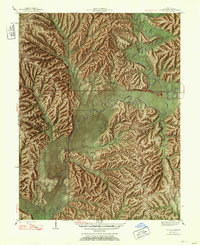
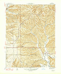
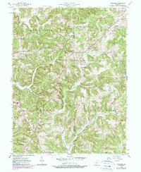
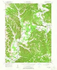
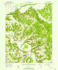
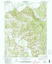
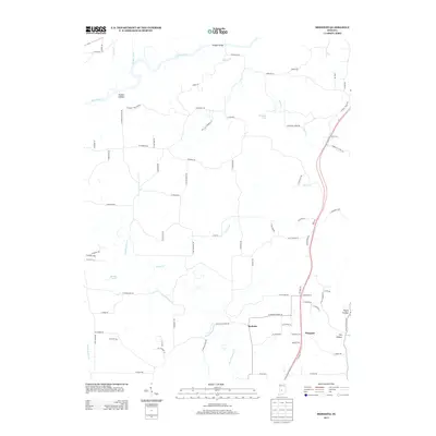
Editions of this 1957 Allens Creek Map
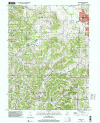
Historical Maps of Handy Through Time
54 maps found
1947 Allens Creek
Monroe County, IN
1947 Unionville
Monroe County, IN
1948 Hindustan
Monroe County, IN

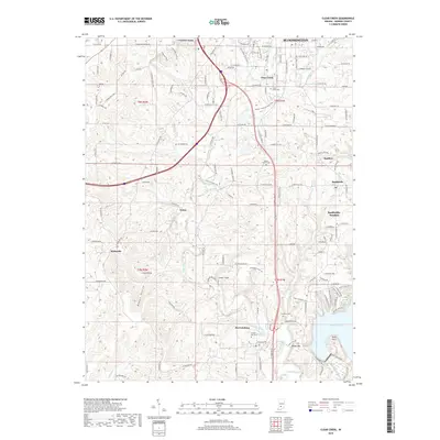
1956 Clear Creek
Monroe County, IN
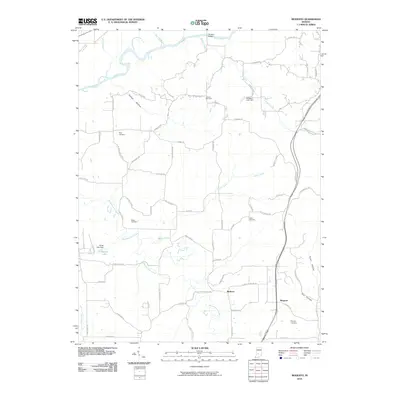
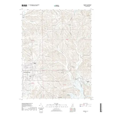
1956 Stanford
Monroe County, IN
1957 Allens Creek
Monroe County, IN
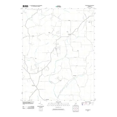
1957 Modesto
Monroe County, IN

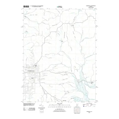
1957 Unionville
Monroe County, IN
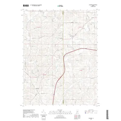
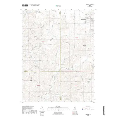
1957 Whitehall
Monroe County, IN
1961 Hindustan
Monroe County, IN
1965 Clear Creek
Monroe County, IN
1966 Allens Creek
Monroe County, IN
1966 Unionville
Monroe County, IN
1970 Modesto
Monroe County, IN

1998 Hindustan
Monroe County, IN

1998 Modesto
Monroe County, IN

1998 Unionville
Monroe County, IN
1998 Whitehall
Monroe County, IN

1999 Clear Creek
Monroe County, IN
2010 Clear Creek
Monroe County, IN
2010 Hindustan
Monroe County, IN
2010 Modesto
Monroe County, IN
2010 Stanford
Monroe County, IN
2010 Unionville
Monroe County, IN
2010 Whitehall
Monroe County, IN
2011 Allens Creek
Monroe County, IN
2013 Allens Creek
Monroe County, IN
2013 Clear Creek
Monroe County, IN
2013 Hindustan
Monroe County, IN
2013 Modesto
Monroe County, IN
2013 Stanford
Monroe County, IN
2013 Unionville
Monroe County, IN
2013 Whitehall
Monroe County, IN
2016 Allens Creek
Monroe County, IN
2016 Clear Creek
Monroe County, IN
2016 Hindustan
Monroe County, IN
2016 Modesto
Monroe County, IN
2016 Stanford
Monroe County, IN
2016 Unionville
Monroe County, IN
2016 Whitehall
Monroe County, IN
2019 Allens Creek
Monroe County, IN
2019 Clear Creek
Monroe County, IN
2019 Hindustan
Monroe County, IN
2019 Modesto
Monroe County, IN
2019 Stanford
Monroe County, IN
2019 Unionville
Monroe County, IN
2019 Whitehall
Monroe County, IN
2022 Allens Creek
Monroe County, IN
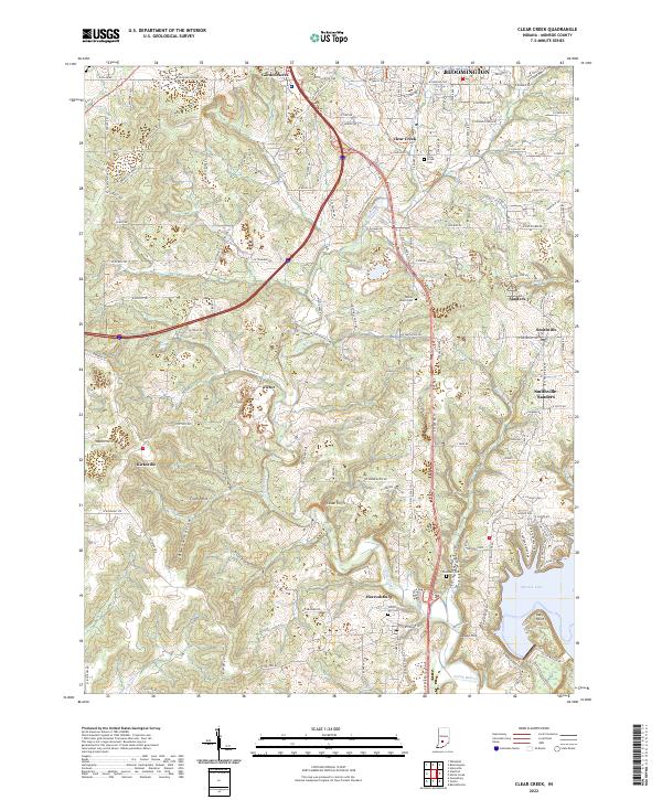
2022 Clear Creek
Monroe County, IN
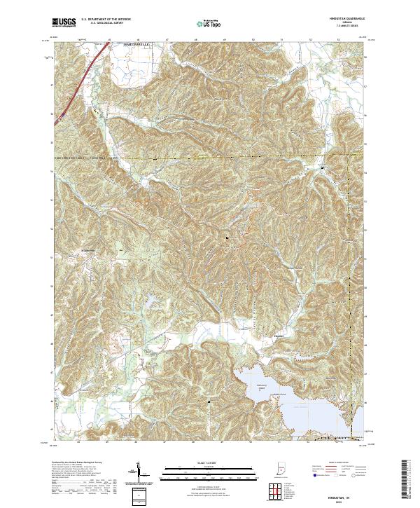
2022 Hindustan
Monroe County, IN

2022 Modesto
Monroe County, IN
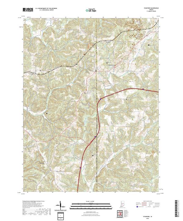
2022 Stanford
Monroe County, IN
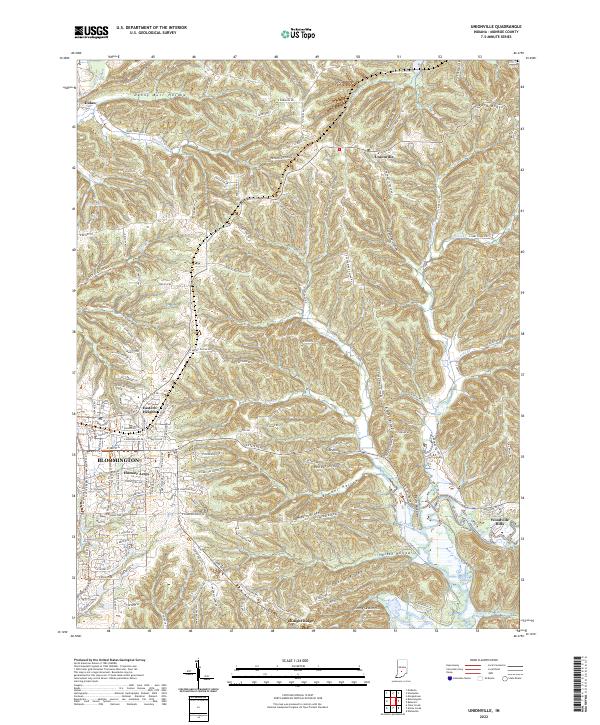
2022 Unionville
Monroe County, IN
2022 Whitehall
Monroe County, IN