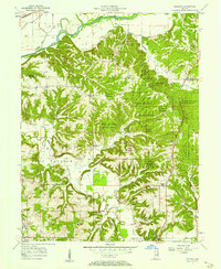
1957 Map of Modesto
USGS Topo · Published 1968About this map
Morgan Monroe State Forest dominates the central and eastern portions of this 1950s Indiana landscape, preserving a heavily wooded and dissected terrain that stands in contrast to the agricultural valleys nearby. The small settlement of Modesto lies in the south-central portion of the map, surrounded by numerous family-named burial grounds and country congregations such as Sodom Cem, Mulky Cem, and Mt Pleasant Ch. This area on the Morgan and Monroe County line is defined by its intricate drainage patterns, with Bean Blossom Creek and Indian Creek carving deep valleys through the hills.
Find a feature on this map
38 named features on this map. Tap any name to fly to it.
Don’t see what you’re looking for? This feature index may not catch every label — zoom into the map to look around manually.
Map Details
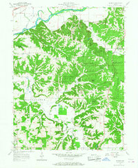
Editions of this 1957 Modesto Map
2 editions found
Other maps of this area

1908 · Bloomington
USGS Topo · 1:48,000

1910 · Bloomington
USGS Topo · 1:62,500

1942 · Franklin
USGS Topo · 1:125,000

1947 · Unionville
USGS Topo · 1:24,000

1947 · Gosport
USGS Topo · 1:24,000

1948 · Hindustan
USGS Topo · 1:24,000

1949 · Quincy
USGS Topo · 1:24,000

1950 · Gosport
USGS Topo · 1:24,000

1953 · Indianapolis
USGS Topo · 1:250,000

1955 · Martinsville
USGS Topo · 1:24,000