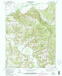
1970 Map of Modesto
USGS Topo · Published 1989About this map
Morgan-Monroe State Forest dominates the center of this terrain, where the rugged ridges of Washington and Beanblossom townships meet. The map documents a landscape transitioning from the agricultural flats of the White River valley in the north to the heavily wooded uplands. Along the northern edge, the Conrail line and the Paragon Bridge facilitate transport across the river, while the interior is marked by a network of rural roads connecting scattered spiritual and educational centers like New Salem Ch and the Brown Sch.
Find a feature on this map
41 named features on this map. Tap any name to fly to it.
Don’t see what you’re looking for? This feature index may not catch every label — zoom into the map to look around manually.
Map Details
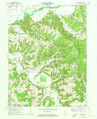
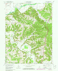
Editions of this 1970 Modesto Map
3 editions found
Other maps of this area

1908 · Bloomington
USGS Topo · 1:48,000

1910 · Bloomington
USGS Topo · 1:62,500

1942 · Franklin
USGS Topo · 1:125,000

1947 · Unionville
USGS Topo · 1:24,000

1947 · Gosport
USGS Topo · 1:24,000

1948 · Hindustan
USGS Topo · 1:24,000

1949 · Quincy
USGS Topo · 1:24,000

1950 · Gosport
USGS Topo · 1:24,000

1953 · Indianapolis
USGS Topo · 1:250,000

1955 · Martinsville
USGS Topo · 1:24,000